OVERVIEW
What is GIS?
GIS stands for Geographic Information Systems
GIS is a mapping technology that allows the user to create and interact with a variety of maps and data sources. GIS integrates databases with geo-referenced spatial data (maps tied to specific known locations). In other words GIS allows the user to create visual displays of tabular information. In a GIS the user is able to decide how the data will be displayed. GIS projects can range from global projects to site specific (such as a school and schoolyard). Educators and their students can collect and create their own data and used the GIS to display the data and analyze the results.
We understand that resource requirements change during a project, that is why our flexible approach enables you to tailor the dedicated team to exactly match your workload. Additional resources can quickly and easily be added or removed from the project as circumstances require.
Where is GIS used?
GIS is everwhere! There are many businesses, government agencies and others who are using GIS.
Below are some areas where GIS is being used:
- Government Agencies
- Emergency Services
- Education
- Other Businesses
- Tele-Communication
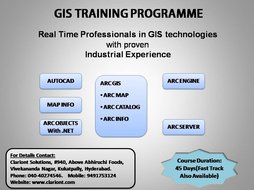
Also we are providing real time training on the below GIS Technologies
- AUTOCAD
- MAP INFO
- ARC GIS(ARC MAP, ARC CATALOG, ARC INFO)
- ARC OBJECTS WITH .NET
- ARC ENGINE
- ARC SERVER